
Following the Water
Four Days Along the Danube with my Ruffian Savanna
The journey started on the water.
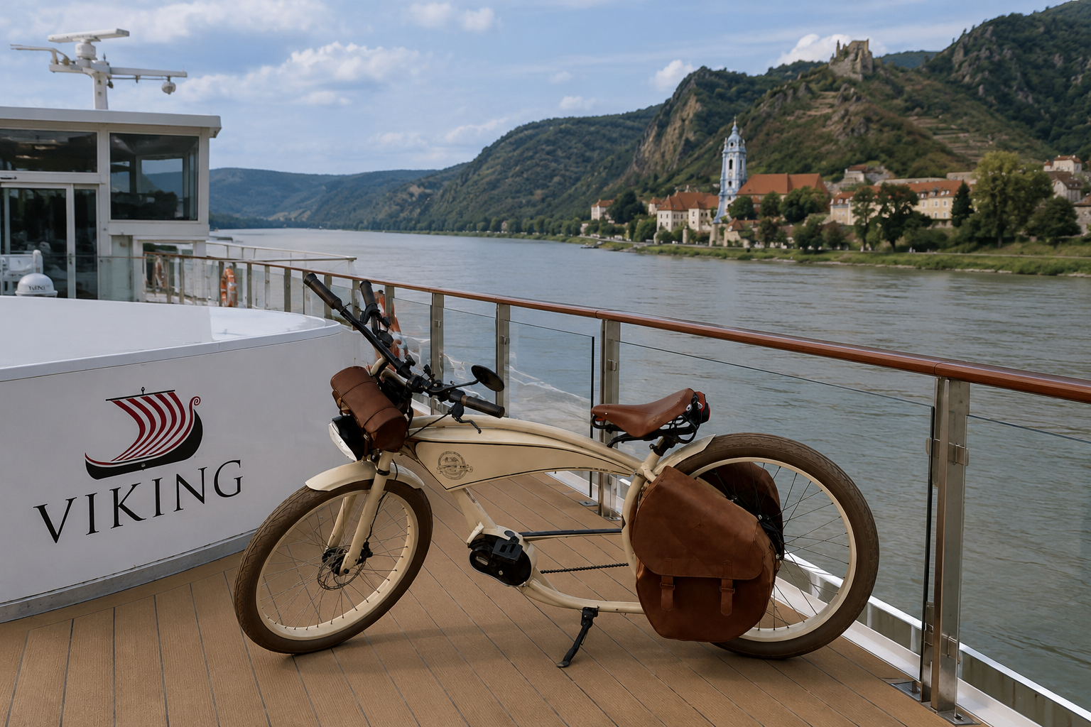
Before putting a single kilometer underneath the tires of my Ruffian Savanna, I traveled along the Danube aboard a Viking river cruise ship. From the deck, the river seemed immense and reassuringly permanent. Towns appeared and disappeared, vineyards climbed the hills, and locks quietly lifted the ship from one stretch of the river to the next.
It was a comfortable way to travel. Perhaps too comfortable.
That was one reason I wanted to see the same landscape again from a bicycle.
Near Vienna, I left the ship behind. The plan was simple: start around the Alte Donau, turn west, and follow the Danube upstream toward Passau, covering around 80 kilometers a day.
The journey
4 days
approximately 330 km
around 80 km per day
Ruffian Savanna e-bike
camera equipment
photographic project: WASSERMANGEL / WATER SCARCITY
I would be riding against the flow of the river, but towards the question behind the project:
What does water scarcity look like before the water disappears?
Day One
Alte Donau – Tulln – Krems
Approximately 80 km
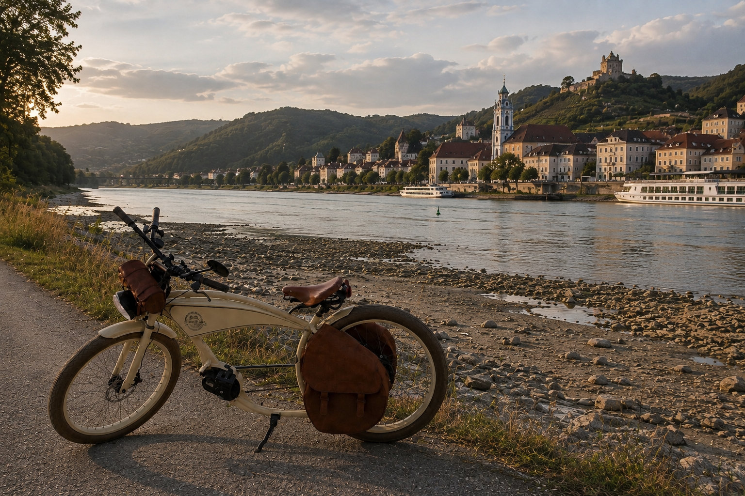
I started beside the Alte Donau, an odd place to begin a photographic project about water scarcity.
There was water everywhere.
People were swimming. Small boats moved across the surface. Cafés and gardens faced the shoreline. Nothing here immediately suggested shortage.
But Wassermangel is not a project about deserts or empty reservoirs. It is about our changing relationship with something that Central Europe has long treated as permanently available.
Vienna / Alte Donau → Tulln → Krems
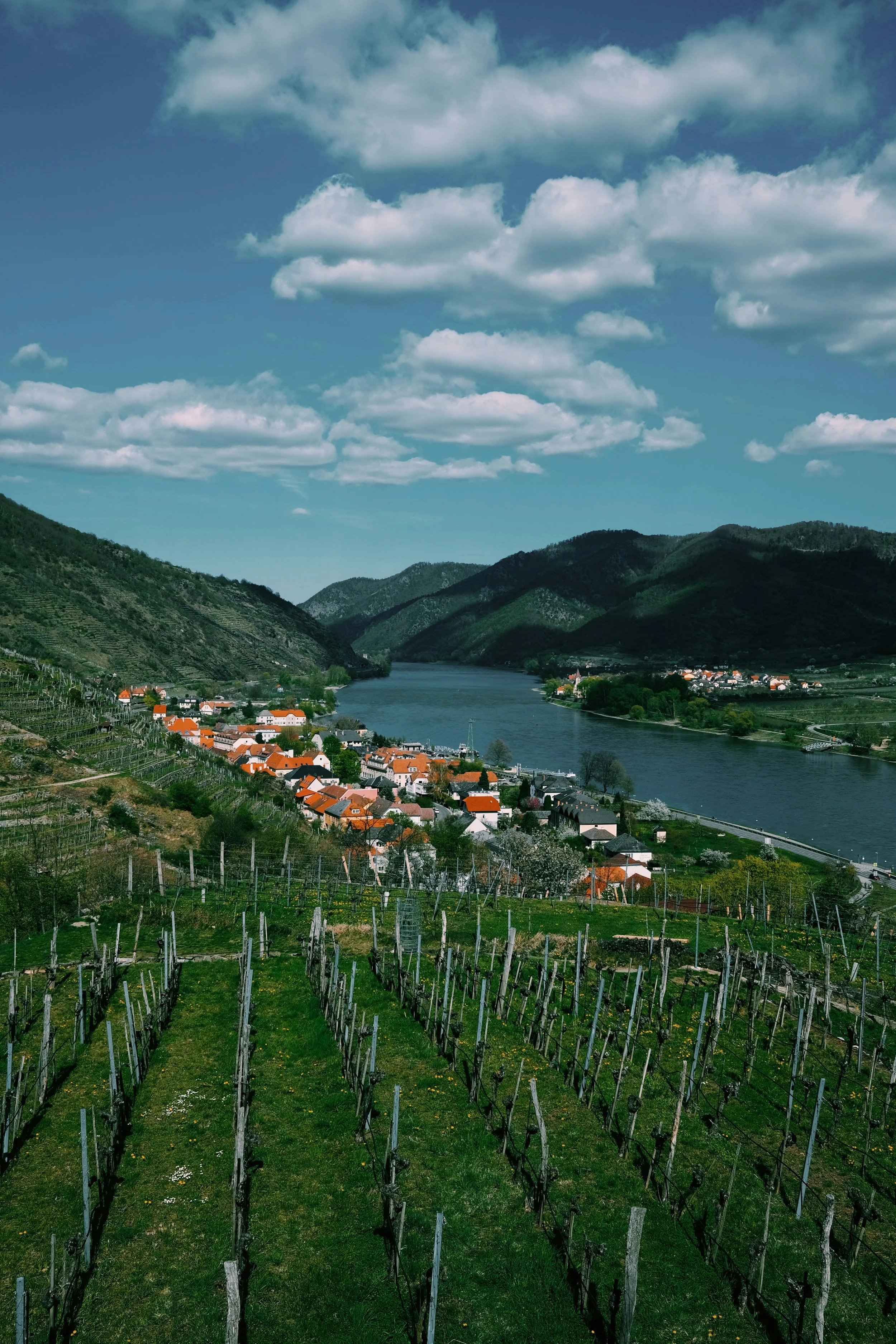
The rhythm changed as soon as I started riding.
From the cruise ship, I had watched kilometers of riverbank pass while drinking coffee. From the Savanna, every kilometer had a physical presence: headwind, heat rising from the asphalt, gravel beneath the tires, and the occasional disagreement between the official cycle route and where I thought I was going.
More importantly, I could stop.
At first, I photographed the river.
Then I began looking at its borders.
Exposed banks. Dry vegetation. Drainage channels. Agricultural land. Concrete structures. Places where the relationship between land and water was visible.
The bicycle was slow enough to notice these things and fast enough to connect them.
If something caught my attention, I could brake, turn around and look again.
By the time I reached Krems, I realized that the Savanna wasn’t simply carrying me through the project.
It had become part of the way I was photographing it.
Day Two
Krems – Wachau – Melk – Grein
Approximately 80–85 km
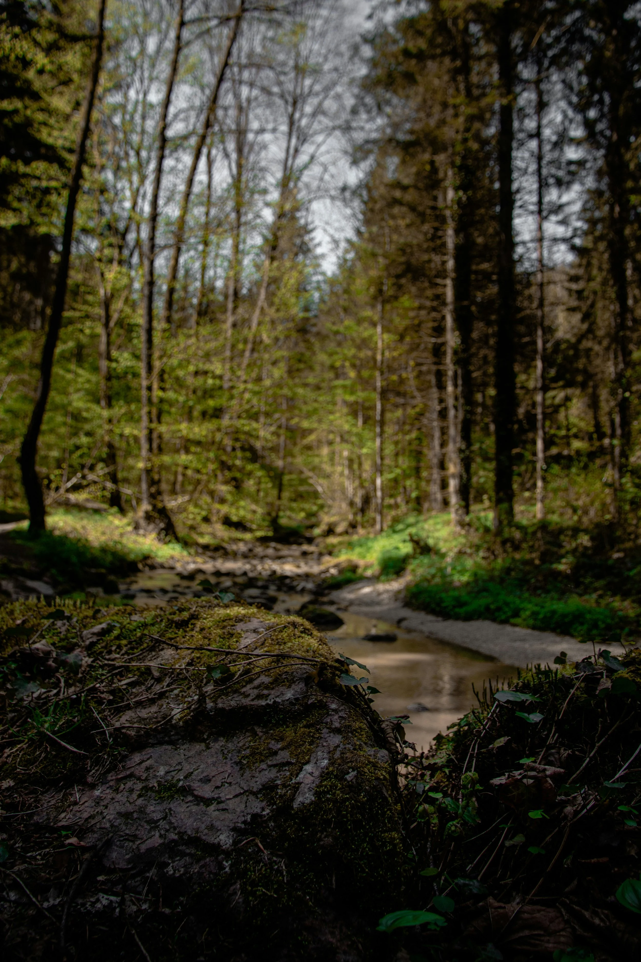
The second morning took me into the Wachau.
For a photographer, the Wachau presents a particular problem: almost everything looks like a postcard.
Vineyards descend towards the Danube. Church towers rise above small villages. Dürnstein sits under its ruined castle with a composition that seems to have been arranged several centuries in advance for passing photographers.
It would have been easy to photograph the beauty.
I became more interested in the dependency behind it.
The vineyards need water. The orchards need water. Agriculture, tourism, shipping and the villages themselves exist within a landscape organized around the river.
So I started looking at the less picturesque details: green vines above dry soil, exposed stones at the river’s edge, marks on concrete showing previous water levels, stressed vegetation and smaller waterways feeding into the Danube.
The research behind Wassermangel kept returning to one idea:
“The water cycle has a long memory.”
A few days of rain cannot necessarily replace water lost from soils and groundwater over months or years.
That changed the way I looked at the landscape.
A dry field wasn't simply a dry field. A small tributary was no longer only something crossed by the cycle path. Each belonged to the same water system.
After Melk, the Wachau gradually gave way to a quieter Danube.
By the time I approached Grein, another 80 kilometers had passed beneath the wheels.
So had a great deal of evidence.
Day Three
Grein – Linz – Upper Danube
Approximately 80 km
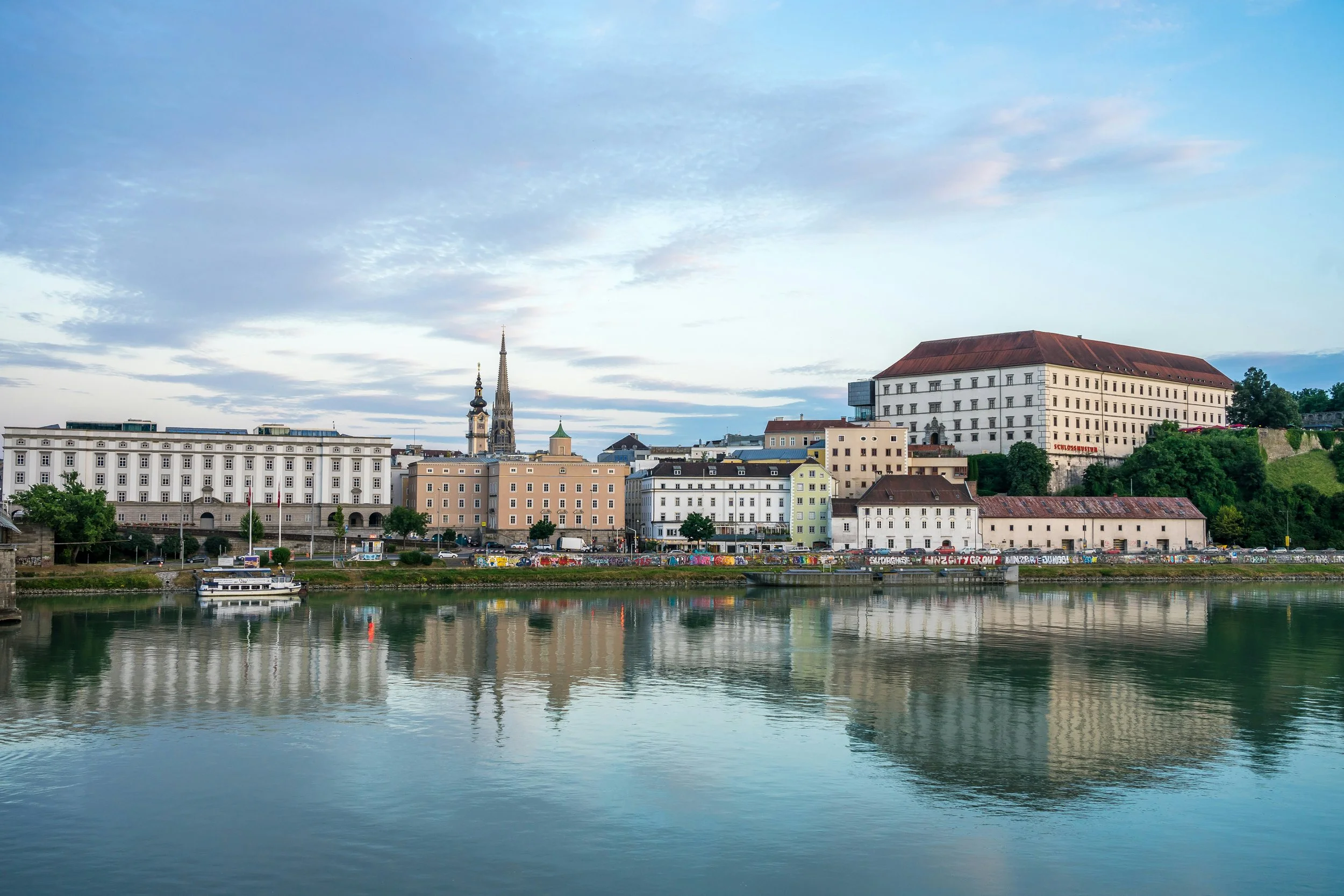
On the third day, the river's character changed.
The romantic Danube increasingly became an engineered Danube.
Bridges, locks, roads, power installations and industrial structures appeared along the banks.
Then came Linz.
Here the Danube is not simply landscape. It is infrastructure.
For centuries, we have modified European rivers for navigation, energy, flood protection, agriculture and urban development. At the same time, we expect them to remain functioning ecosystems and places for recreation.
We ask a remarkable amount of a river.
My camera moved away from scenic views and towards the structures surrounding the water: intake pipes, retaining walls, lock gates, concrete embankments and dry vegetation growing around them.
The question changed as well.
I was no longer asking only:
Where is the water?
I was asking:
What have we built because we assumed the water would always be there?
Low water is not simply a visual occurrence.
It can affect shipping, agriculture, ecosystems and water quality. When river levels fall, treated wastewater entering rivers and streams is less diluted. In smaller waterways, the proportion of treated effluent can become remarkably high during periods of severe low water.
That knowledge changes an apparently insignificant photograph.
A small pipe entering a stream is suddenly connected to a much larger system.
By evening, after another day of riding, my legs were considerably less interested in hydrology than my camera was.
Passau was getting closer.
Day Four
Schlögener Schlinge – Engelhartszell – Passau
Approximately 80 km
The final stage followed one of the journey's most dramatic sections: the Schlögener Schlinge, where the Danube makes its great loop through the landscape.
From above, it is monumental.
From bicycle height, it is fragmented.
The river disappears behind trees and returns again. The path runs beside the water, moves away from it and passes through small settlements before finding the river once more.
By now, I had stopped deliberately searching for evidence of water scarcity.
I was noticing it.
After several days, the eye adjusts.
Yellowing vegetation catches your attention.
A line on a bridge pier becomes a record of another water level.
Exposed stones reveal parts of the riverbank normally covered beneath the water.
Brittle dirt becomes information.
A shallow tributary makes you stop.
This was probably the most important change during the journey.
I had started by looking for photographs of water scarcity.
Now I was looking at the landscape differently.
Passau
Where the Rivers Meet
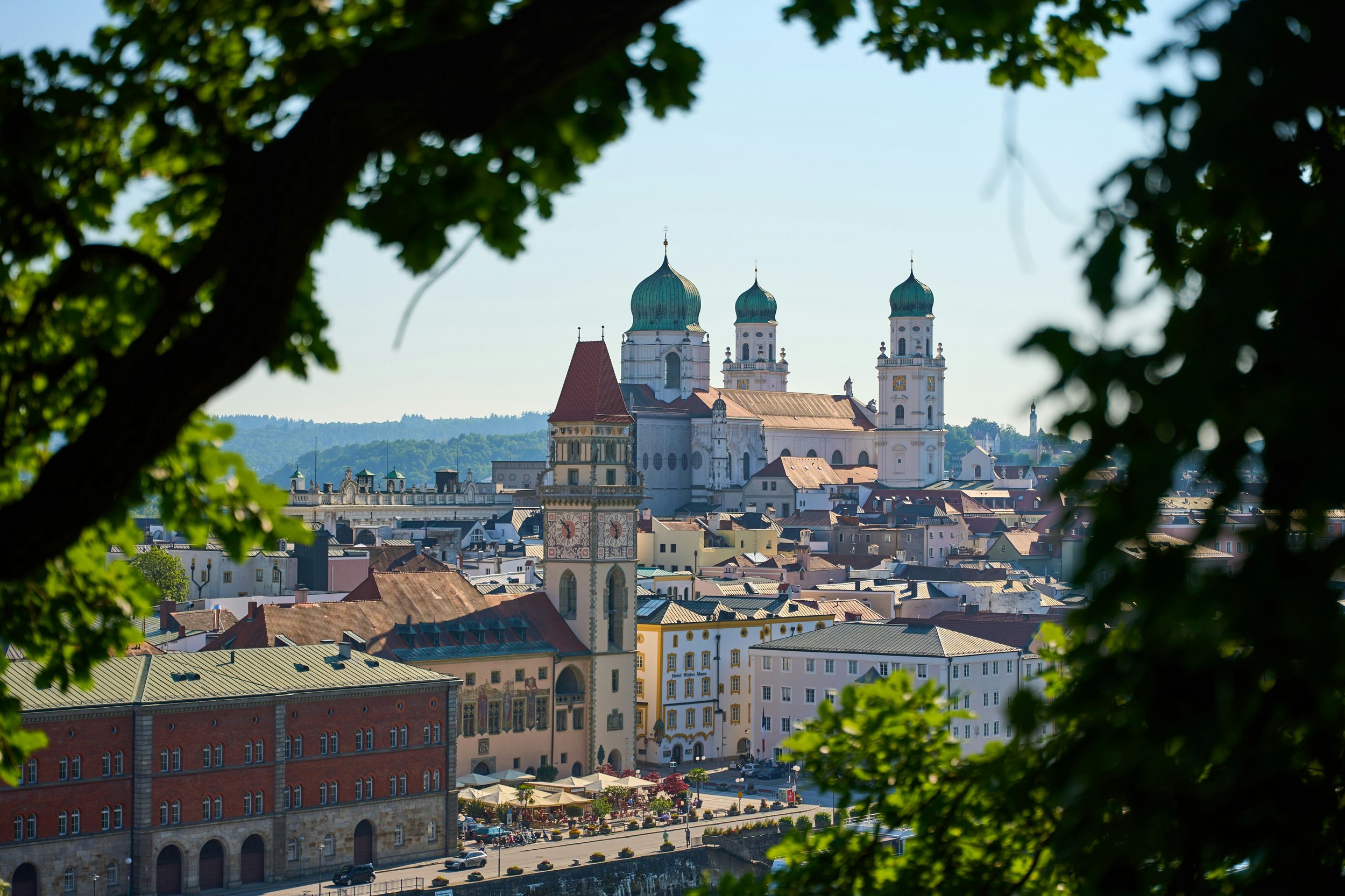
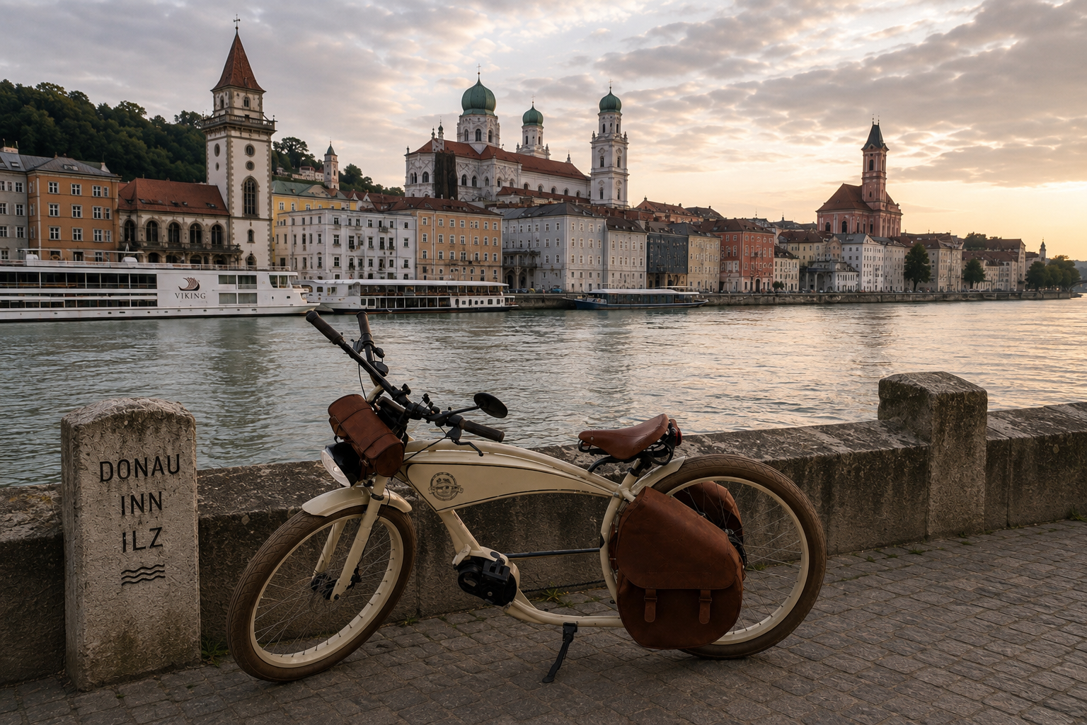
Eventually Passau appeared.
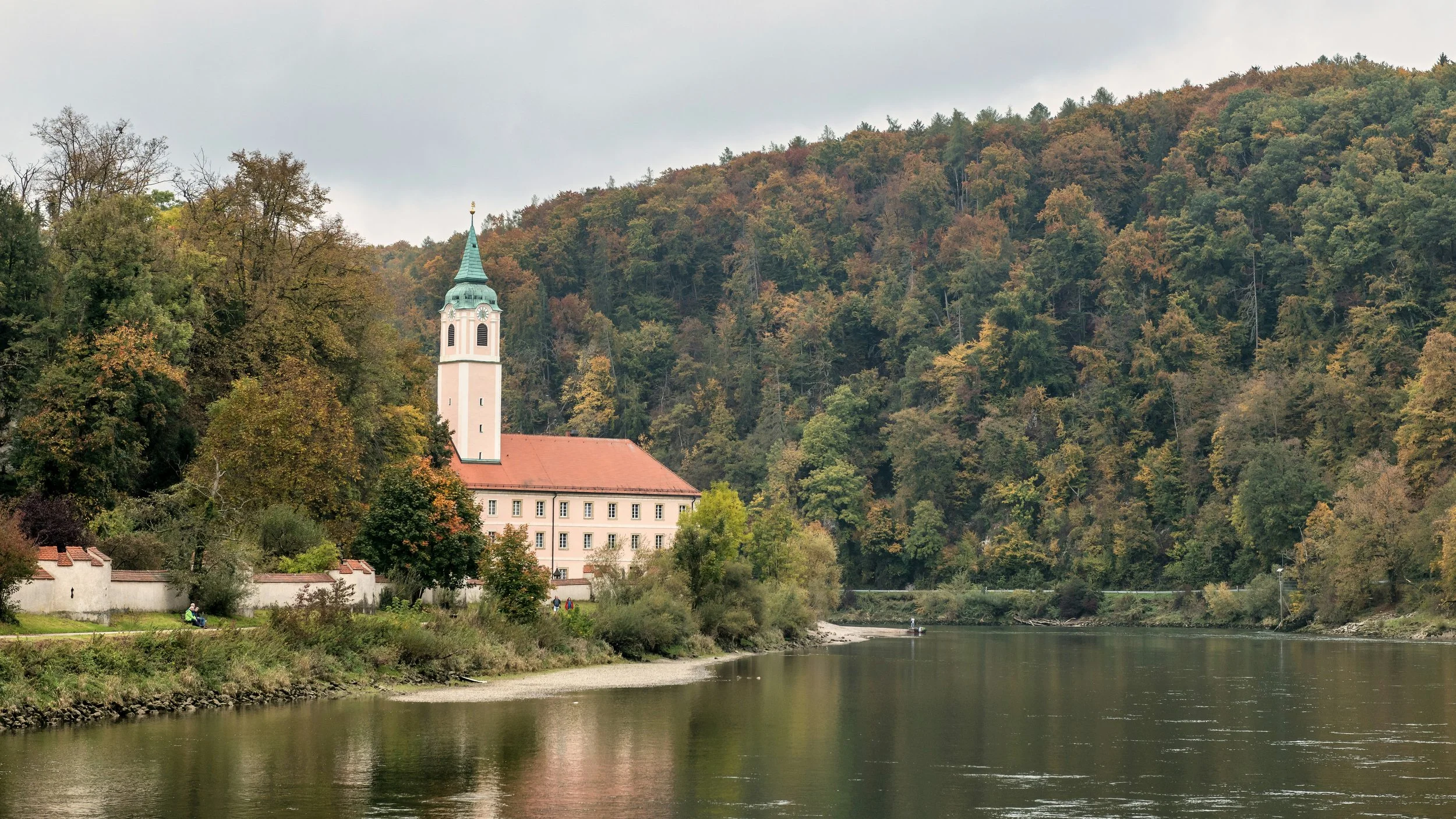
Here the Danube, Inn and Ilz meet, making the city an appropriate place to finish a journey concerned with water.
I had now experienced roughly the same river landscape in two completely different ways.
First from the deck of a cruise ship.
Then from the saddle of the Savanna.
The contrast became central to the project.
From the ship, I saw the river.
A broad European artery connecting towns, countries and histories.
From the bicycle, I saw the system.
Tributaries, soil, agriculture, locks, vegetation, infrastructure, settlements and all the human assumptions built around the availability of water.
Environmental change does not always announce itself dramatically.
Often it appears first at the edges: in the distance between vegetation and water, in the color of a field, in exposed pebbles beneath a bridge or in a tributary carrying less water than expected.
These are small changes.
Photography is good at small changes.
I started near Vienna believing that I was going to photograph water scarcity.
Four days and roughly 330 kilometers later, I arrived in Passau with a slightly different project.
I had photographed our dependence on water.
Perhaps that is the particular advantage of traveling by bicycle with a camera.
You move fast enough to grasp the landscape, but slowly enough to notice when it begins to change.